Interactive Map of the Apuan Alps
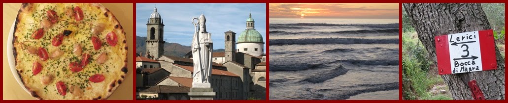
Whether you're a hiker, a walker, or a dreamer in the Lunigiana / Versilia / Garfagnana area, you will love the new interactive map now available free online at the bilingual webMapp. It is centered on the Apuan Alps of Massa-Carrara and is drawn at a scale of 1:25,000. The map is enhanced with altitude contour lines, terrain shading, CAI trails, streets and roads, comune and frazione names, rifugio locations (with phone numbers) and via ferrata (technical climbing) locations. There are plans to add additional information, such as labeling natural features. The map includes the area from Equi Terme in the NW, to Avenza in the SW, to Fornaci di Barga on the Serchio River in the NE, and to Marina di Pietrasanta in the SE.
The map is a labor of love by Marco Barbieri who has been working in cartography for more than a decade. He says, "The webmapp website was born to share my passion for maps, the web, and both things together. A little personal laboratory of my own." Marco, we salute your effort, and thank you. You can show your appreciation by giving him feedback through the webmapp website.
The technical information regarding the map's development, from the webmapp website: "Input data: For the topography base layer: openstreetmap data, WMS services from Tuscany Region and the Ministry of Environment National Geo-website. For the hiking trails: my own GPS survey data, integrated by data coming from the hiking trails web map of the Tuscan Region, following the updated list of hiking trails of the Massa branch of CAI (Club Alpino Italiano). The map was almost entirely redrawn using the above mentioned input data. After that a digital cartographic representation was made in a graphic environment. The web: Openlayers was used as JavaScript library. Map Tiler was used to generate the map tiles."
There's also a mobile map version.
webMapp on Facebook
webMapp Apuan Website
Written by Martha